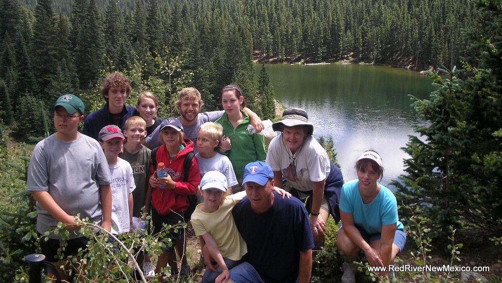
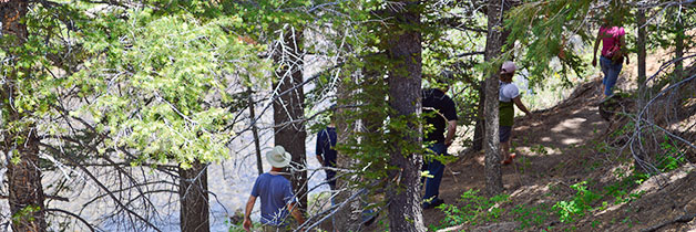
Drive towards the Red River Upper Valley on Hwy 578 until you reach the end of the pavement (about 6.5 miles). Once you reach the end of the pavement, you will notice a brown recreation sign. Follow the arrow to the right. If you cross a bridge on the left, you are going the wrong direction! Drive about 1 mile to a parking area. The road is very rough so drive slowly so as not to damage your vehicle. The trailhead begins to the left of the parking area. This hike begins at an elevation of 9,600 ft. and climbs to 10,845 ft. at the lake.
Length: 2 Miles each way
Difficulty: Moderate