Location: Big Arsenic Springs at the Wild Rivers Area. Descent: 653 feet Distance: 2 miles Duration: 3 hours roundtrip Level: Moderate to Strenous. Sights: Big Springs/Oasis, Petroglyphs. Directions: 45 minute drive from Red River to Big Arsenic trailhead. Turn right onto NM Hwy 522 at Questa. Drive approximately 3 miles until you see NM Read More…
Drive towards the Red River Upper Valley on Hwy 578 until you reach the end of the pavement (about 6.5 miles). Once you reach the end of the pavement, you will notice a brown recreation sign. Follow the arrow to the right. If you cross a bridge on the left, you are going the Read More…
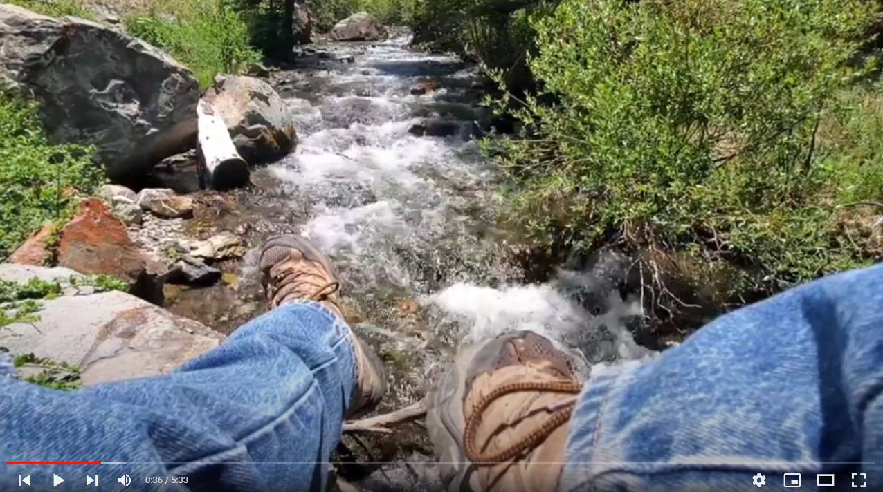
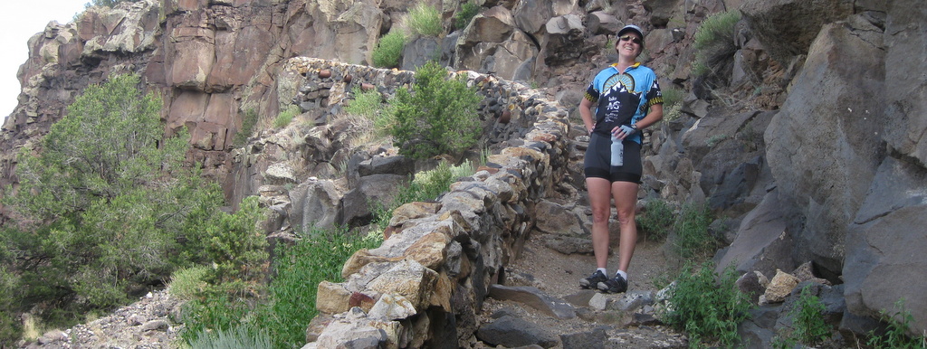
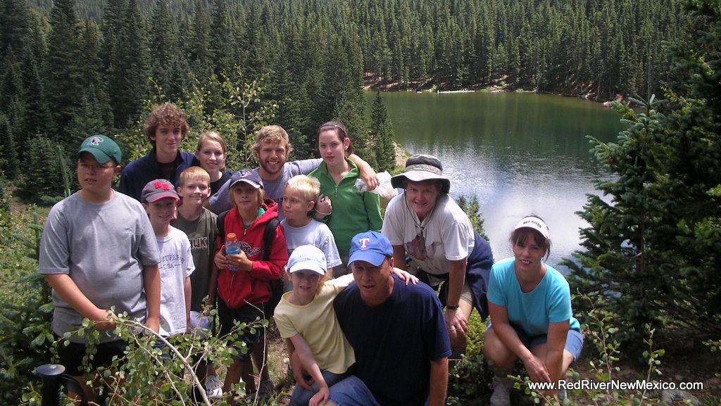
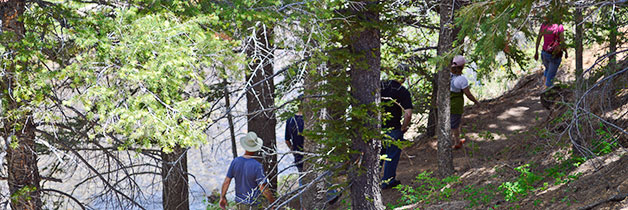
The best way to experience the mountains up close and personal is hiking on one of the many beautiful trails around the Red River. There are lots of choices depending on your fitness level and hiking companions. Be sure and go prepared with water, sunscreen, rain gear, snack/lunch, hat, jacket, shelter and layers of Read More…